Geographic Information Specialist
A complete application package consists of:
- An application
- Transcript(s) – For this opportunity, an unofficial transcript or copy of the student academic records printed by the applicant or by academic advisors from internal institution systems may be submitted. Selected candidate must provide proof of completion of the degree before the appointment can start. Proof must be sent to ORISE directly from the academic institution including graduation date and degree awarded. All transcripts must be in English or include an official English translation. Click here for detailed information about acceptable transcripts.
- A current resume/CV
- Two references – While two references are requested, applications will be considered without reference information. It is preferred that a complete application package contains a minimum of one reference.
If you have questions, send an email to USACE@orau.org. Please include the reference code for this opportunity in your email.
A research opportunity is currently available at the Institute for Water Resources (IWR), U.S. Army Corps of Engineers (USACE) for a recent BA/BS or MS Degree graduate. The U.S. Army Corps of Engineers (USACE) Research Participation Program, administrated by the Oak Ridge Institute for Science and Education (ORISE), provides recent graduates with challenging research opportunities that will provide them knowledge and skills that will prepare them for careers and/or in pursuit of advanced degrees. As a result, recent bachelor’s and master’s degree graduates are in a position to gain invaluable research experience that takes them beyond entry-level understanding.
This appointment will be located in the School of Planning Design and Construction (SPDC) at Michigan State University in East Lansing Michigan. The candidate will work cooperatively with both IWR and SPDC faculty and staff. This will enable the fellow to participate in and learn about: gathering, producing and maintain geospatial and non-spatial data; the use of various mathematical techniques, such as coordinating geography, to design and update GIS databases integrating and analyzing both geospatial and non-spatial data; the development of new Web-based GIS tools and systems and; providing geographic/spatial data analytic support for better management and policy decision-making and; communicating GIS/spatial information to persons without GIS technical skills.
The appointment is full-time for one year and may be renewed based upon recommendation of the USACE and availability of funding. The selected applicant will receive a stipend as support for their living and other expenses during this appointment. Stipend rates are determined by USACE officials, and are based on the applicant’s academic and professional background. The participant must show proof of health and medical insurance. Health insurance can be obtained through ORISE. The participant will not enter into an employee/employer relationship with ORISE, ORAU, USACE, DOE, or any other office or agency. Instead, the participant will be affiliated with ORISE for the administration of the appointment through the ORISE appointment letter and Terms of Appointment.
While participants will not enter into an employment relationship with USACE, this position requires a pre-appointment check and a full background investigation.
This opportunity is available to U.S. citizens, Lawful Permanent Residents (LPR), and foreign nationals. Non-U.S. citizen applicants should refer to the Guidelines for Non-U.S. Citizens Details for information about the valid immigration statuses that are acceptable for program participation.
Applicants should have successfully completed either a Bachelors or Master’s degree that would support research projects with emphasis on Geographic Information System. Experience or education related to GIS, Geography, Urban or Regional Planning, Natural Resources, and Computer Science desired. Experience or education related to database, analytical and statistical software desired. Knowledge of research programs, imagery, GIS data file formats, and applications along with familiarity with the use of ESRI and QGIS professional products is desirable. Preference will be given to persons with knowledge and experience with Matlab and R statistic products; SQL Database; Programming language for statistical computing and graphics Web Architecture.

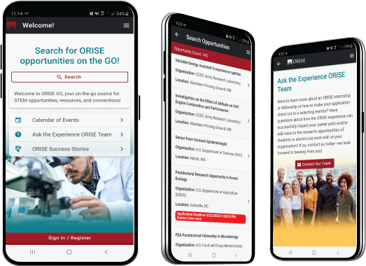
 ORISE GO

The ORISE GO mobile app helps you stay engaged, connected and informed during your ORISE experience – from application, to offer, through your appointment and even as an ORISE alum!


