Estuary Data Mapper GIS and Data Analyst
A complete application consists of:
- An application
- Transcripts – Click here for detailed information about acceptable transcripts
- A current resume/CV, including academic history, employment history, relevant experiences, and publication list
- Two educational or professional references
All documents must be in English or include an official English translation.
If you have questions, send an email to EPArpp@orau.org. Please include the reference code for this opportunity in your email.
A postgraduate research opportunity is currently available at the U.S. Environmental Protection Agency’s (EPA) Office of Research and Development (ORD)/National Health and Environmental Effects Research Laboratory (NHEERL). This appointment will be served with the Atlantic Ecology Division (AED) in Narragansett, RI.
This project will provide an opportunity for the research participant to be involved with EPA teams compiling, generating and providing access to data on coastal watersheds and estuarine systems to support decision-making and environmental applications. The participant will be involved in two projects:
1. Integrated Nitrogen Management (INM) Project – Through this project, the research participant will learn how to evaluate and prepare geospatial information on coastal watersheds and estuaries for inclusion within the EPA's Estuarine Data Mapper application (https://www.epa.gov/hesc/estuary-data-mapper-edm). The Estuary Data Mapper is a stand-alone application that facilitates environmental data discovery, visualization and geospatial data download for coastal watershed and estuarine systems. Evaluation of information may include historic and projected future nutrient loads and source allocations, nutrient sinks, indicators of estuarine vulnerability to nitrogen loads, groundwater vulnerability and contact times, future scenarios of development and nutrient, sediment loading for the Chesapeake Bay Watershed based on alternative growth strategies, historic and projected future atmospheric nitrogen loads, distribution of natural and constructed green infrastructure best management practices in coastal watersheds, watershed model outputs supporting EPA's Watershed Management Optimization Support Tool (WMOST), data supporting seagrass habitat models, and estuarine ecosystem services. The participant may also have an opportunity to evaluate future loadings to estuarine systems based on sensitivity analyses and projected changes in load components.
2. Watershed Resilience, Recovery Potential and Sustainability Project (WRRPS) - Through this project, the research participant will have the opportunity to learn about extracting, obtaining, preparing, and interpreting geospatial information on coastal watersheds and estuaries from a variety of sources including EPA's Estuary Data Mapper, EPA's National Coastal Assessment, NHDPlus, recently developed watershed sustainability coverages (StreamCats), other state and federal databases and scientific literature. Evaluation of information may include residence time and residence time surrogates, freshwater flow into estuaries, geomorphology of estuaries, tidal range in estuaries, as well as watershed variables such as land use/cover, slope, etc. These data will be used to build models to predict watershed condition and resilience. The participant will have an opportunity to learn about data access and visualization, decision support tools, and EPA's Nitrogen, Green Infrastructure, and Watershed Sustainability research programs. Networking opportunities will be available through participation in local and national meetings.
This program, administered by ORAU through its contract with the U.S. Department of Energy to manage the Oak Ridge Institute for Science and Education, was established through an interagency agreement between DOE and EPA.
Applicants must have received a master's degree in biology, ecology, geography, environmental sciences, oceanography, geology, hydology or a related field within five years of the desired start date, or completion of all requirements for the degree should be expected prior to the start date. Knowledge of geographic information systems and experience using ArcGIS, including Spatial Analyst, 3D Analyst, and ArcHydro extensions and use of ModelBuilder and/or Python scripts is desireable.
The appointment is full-time for one year and may be renewed upon recommendation of EPA and contingent on the availability of funds. The participant will receive a monthly stipend. Funding may be available to reimburse the participant’s travel expenses to present the results of his/her research at scientific conferences. No funding will be available to cover travel costs for pre-appointment visits, relocation costs, tuition and fees, or participant’s health insurance. The participant must show proof of health and medical insurance. The participant does not become an EPA employee.
The mentor for this project is Naomi Detenbeck (detenbeck.naomi@epa.gov). The desired start date is May 16, 2016.
- Degree: Master's Degree received within the last 60 month(s).
- Discipline(s):

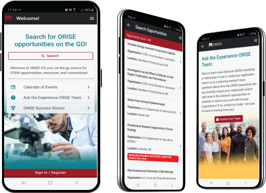
 ORISE GO

The ORISE GO mobile app helps you stay engaged, connected and informed during your ORISE experience – from application, to offer, through your appointment and even as an ORISE alum!


