Research Opportunity in GIS and Statistical Analysis
A complete application package consists of:
- An application
- Transcript(s) – For this opportunity, an unofficial transcript or copy of the student academic records printed by the applicant or by academic advisors from internal institution systems may be submitted. Selected candidate must provide proof of completion of the degree before the appointment can start. Proof must be sent to ORISE directly from the academic institution including graduation date and degree awarded. All transcripts must be in English or include an official English translation. Click Here for detailed information about acceptable transcripts.
- A current resume/CV
- Two references – While two references are requested, applications will be considered without reference information. It is preferred that a complete application package contains a minimum of one reference.
If you have questions, send an email to USForestService@orise.orau.gov. Please include the reference code for this opportunity in your email.
A research opportunity in GIS and statistical analysis is available with the U.S. Department of Agriculture (USDA), U.S. Forest Service (USFS), Pacific Wildland Fire Sciences Laboratory in Seattle, Washington.
The USDA Forest Service AirFire Research Team, is a multidisciplinary team, integrating data from many sources and disciplines such as fire ecology, atmospheric chemistry, fire weather, fire behavior and combustion. We work with researchers and agencies nationally and internationally from universities, government research institutions, and contractors. Land managers, air quality agencies, and health agencies use our research products, tools, information and expertise to address issues with smoke/fire/air quality. Specifically, one of our major projects is running a smoke modeling system in a forecast mode to predict where smoke from large wildfires and prescribed burns will go based on information from satellite data, meteorological models, and fuels consumption and emissions models. We also create web-based tools disseminating smoke modeled data, air quality monitoring data, and satellite information to address smoke from large-scale wildfires.
We are looking for an applicant with a GIS and statistical background to explore GIS-based analyses and programs, as well as perform statistical data analyses. Under the direction of an AirFire Scientist, the participant will explore the efficient use of GIS and statistical techniques within individual research projects and look at ways to optimize resources shared among several research projects. Our systems ingest and generate large quantities of data, so we’re exploring various GIS and statistical data analysis techniques, how to automate useful techniques, and how to efficiently and clearly share results with our applied and scientific partners. This position provides an outstanding opportunity to apply a variety of analytical skills to perform original and applied research, present the results at scientific meetings and trainings, and assist in publishing papers in peer-reviewed journals.
The appointment is full-time for 12 months with an anticipated start date of February 1, 2018, and may be renewed based upon recommendation of the USFS and availability of funding. The selected applicant will receive a stipend as support for their living and other expenses during this appointment. Stipend rates are determined by USFS officials, and are based on the applicant’s academic and professional background. The participant must show proof of health and medical insurance. Health insurance can be obtained through ORISE. If the participant selects coverage under the ORISE policy, a supplement to the stipend may be provided to offset a portion of this expense.
The participant will not enter into an employee/employer relationship with ORISE, ORAU, USDA, USFS, or any other office or agency. Instead, the participant will be affiliated with ORISE for the administration of the appointment through the ORISE appointment letter and Terms of Appointment.
This opportunity is available to U.S. citizens only.
For more information about the USFS Research Participation Program, please visit the Program Website.
Required:
- B.S. in computational or quantitative science.
Preferred:
- Masters degree in computational or quantitative science.
- Experience with GIS software including GIS scripting/coding.
- Experience with R software.
- Experience with Python coding, including object-oriented programming and object-oriented design.
- Demonstrated ability to create clear and concise visual displays of quantitative data.
- Strong communication and interpersonal skills.
- Demonstrated ability to work collaboratively in a team environment.
- Experience with Unix and Windows OS, web services and applications.
- Ability to communicate effectively with research scientists.
- Experience working collaboratively with research scientists.
- Familiarity with fitting spatial stream network models.
- Sincere interest in learning about natural resource management applications and fire science.

 ORISE GO

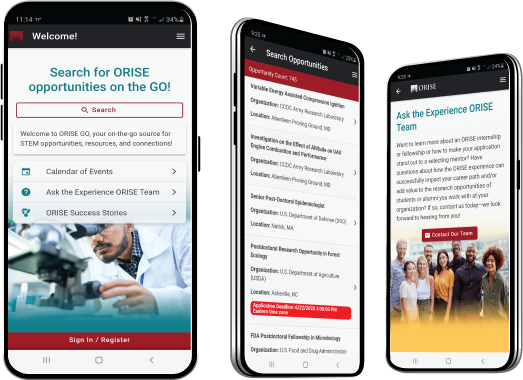
The ORISE GO mobile app helps you stay engaged, connected and informed during your ORISE experience – from application, to offer, through your appointment and even as an ORISE alum!


