Remote Sensing: Ground Water Modeling and Water Monitoring
Components of the online application are as follows:
-
Profile Information
-
Educational and Employment History
-
Essay Questions (goals, experiences, and skills relevant to the opportunity)
-
Resume (PDF)
-
Transcripts/Academic Records - For this opportunity, an unofficial transcript or copy of the student academic records printed by the applicant or by academic advisors from internal institution systems may be submitted. Click here for detailed information about acceptable transcripts.
-
2 Recommendation(s)
Submitted documents must have all social security numbers, student identification numbers, and/or dates of birth removed (blanked out, blackened out, made illegible, etc.) prior to uploading into the application system.
If you have questions, send an email to orisedod@orise.orau.gov. Please list the reference code of this opportunity in the subject line of the email.
All documents must be in English or include an official English translation.
References should be from persons familiar with your educational and professional qualifications (include your thesis or dissertation advisor, if applicable). Personal references are NOT acceptable.
The National Geospatial-Intelligence Agency (NGA) delivers world-class geospatial intelligence that provides a decisive advantage to policymakers, warfighters, intelligence professionals and first responders. Anyone who sails a U.S. ship, flies a U.S. aircraft, makes national policy decisions, fights wars, locates, targets, responds to natural disasters, or even navigates with a cellphone relies on NGA. NGA enables all of these critical actions and shapes decisions that impact our world through the indispensable discipline of geospatial intelligence (GEOINT).
NGA’s Research directorate – Foundation Pod advances capabilities and disruptive technologies to observe, extract, represent and attribute natural and man-made features, terrain, and bathymetry to characterize the earth. We also perform research to exploit geospatial data to build future GEOINT capabilities addressing systemic and emerging defense and intelligence missions.
Under the guidance of a mentor, the two major focus areas of research for this project include A) groundwater modeling and/or remote sensing and B) water system monitoring/remote sensing to examine industrial and residential water consumption. Other topic areas with less priority include water quality and surface flow modeling/remote sensing. Some of this research can be investigated at the UNCLASSIFIED level but having a clearance is a plus.
Key Words
Radar, Hyperspectral, Spectral, Satellite, Geology, Earth Science, Water Quality, Natural Resources, Dam, Levee, Civil Engineering, Infrastructure, Remote Sensing, GIS, Geospatial, Hydrology Modeling, Hydraulic Modeling, Water Resources, Digital Elevation Models (DEM), Terrain Data, Flood, Natural Disasters, Landslides, HPC, Soils, Terrain Mobility, Lidar Data
Appointment Length
This appointment is a twelve-month research appointment, with the possibility to be renewed for additional research periods. Appointments may be extended depending on funding availability, project assignment, program rules, and availability of the participant.
Participant Benefits
Participants will receive a stipend to be determined by NGA. Stipends are typically based on the participant’s academic standing, discipline, experience, and research facility location. Other benefits may include the following:
-
Health Insurance Supplement. Participants are eligible to purchase health insurance through ORISE.
-
Relocation Allowance
-
Training and Travel Allowance
Nature of Appointment
The participant will not enter into an employee/employer relationship with ORISE, ORAU, DOD, or any other office or agency. Instead, the participant will be affiliated with ORISE for the administration of the appointment through the ORISE appointment letter and Terms of Appointment.
Ph.D., or Postdoc level with a background in Hydrology, Civil Engineering, Physical and/or Natural Sciences, preferably with some experience in remote sensing methods.
A background check will be conducted for at least public trust and NGA could pursue an SCI security clearance. Completion of Questionnaire for National Security Positions is required. Details under security requirements.
NGA is a drug-free workplace. Initial and random drug tests will be conducted.
- Citizenship: U.S. Citizen Only
- Degree: Doctoral Degree received within the last 60 months or currently pursuing.
-
Discipline(s):
- Chemistry and Materials Sciences (12 )
- Communications and Graphics Design (2 )
- Computer, Information, and Data Sciences (17 )
- Earth and Geosciences (21 )
- Engineering (27 )
- Environmental and Marine Sciences (14 )
- Life Health and Medical Sciences (46 )
- Mathematics and Statistics (10 )
- Physics (16 )
- Science & Engineering-related (1 )
- Social and Behavioral Sciences (28 )

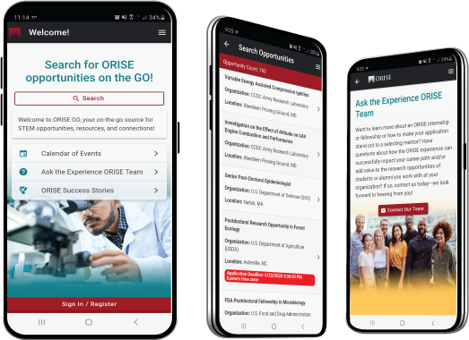
 ORISE GO

The ORISE GO mobile app helps you stay engaged, connected and informed during your ORISE experience – from application, to offer, through your appointment and even as an ORISE alum!


