Multimodal Multiscale 3D Scene Reconstruction Fellowship
Create and release your Profile on Zintellect – Postdoctoral applicants must create an account and complete a profile in the on-line application system. Please note: your resume/CV may not exceed 3 pages.
Complete your application – Enter the rest of the information required for the IC Postdoc Program Research Opportunity. The application itself contains detailed instructions for each one of these components: availability, citizenship, transcripts, dissertation abstract, publication and presentation plan, and information about your Research Advisor co-applicant.
Additional information about the IC Postdoctoral Research Fellowship Program is available on the program website located at: https://orise.orau.gov/icpostdoc/index.html.
If you have questions, send an email to ICPostdoc@orau.org. Please include the reference code for this opportunity in your email.
Research Topic Description, including Problem Statement:
The research topic is multimodal scene reconstruction combining 3D digital surface model (DSM) generated from satellite data with 2D imagery from UAVs. Single modality satellite generated DSM suffers from incomplete data representation, especially on vertical surfaces, but have well-defined sensor models that enable accurate reconstruction of visible surfaces. Unmanned aerial vehicles (UAVs) can capture higher resolution images in terms of ground sample distance but have no or ill-defined sensor models.
Example Approaches:
We seek to develop methods that perform joint 3D reconstruction leveraging both satellite imagery and UAV imagery. Proposed method will leverage traditional photogrammetric methods in conjunction with the latest advances in artificial intelligence and machine learning and use the satellite sensor model along with available UAV metadata (GPS coordinates, altitude, gimbal point angle) to perform joint 3D reconstruction.
Relevance to the Intelligence Community:
Such a method will benefit the Intelligence Community (IC) and DOD by providing complete 3D scene representations, enabling high resolution object details to be captured in a faithful 3D representation. Such products can be used for mission planning and other IC/DOD applications.
- Develop/enhance capabilities to rapidly reconstruct flight trajectories of missiles and aircraft.
- Develop/enhance understanding of global technology development lifecycles and transition plans.
- Develop/enhance computational methods for analysis of geospatial information to detect anomalies.
- Develop/enhance capabilities to collect, process, and analyze information on integrated systems to develop models of complex systems of systems.
- Develop/enhance the accuracy and reliability of precision navigation and timing systems.
- Develop/enhance capabilities to reconstruct and visualize adversaries' military exercises and related activities.
- Develop/enhance detection and characterization of undersea threats.
- Develop/enhance synthetic aperture radar capabilities and techniques.
- Develop/enhance methods to engage and integrate multi-source data.
- Develop/enhance understanding of background signatures for sensor platforms.
- Develop/enhance capabilities for low observable, all-weather, long-dwell platforms.
- Develop/enhance capabilities and methods to analyze, discover, extract, model, simulate, and/or visualize data in a spatiotemporal context from multiple domains and sources.
- Develop/enhance standards and methods to address challenges of processing, sharing, and analyzing spectral and spatiotemporal data within emerging high-performance computing and cloud architectures.
- Artificial Intelligence, Position, Navigation, and Timing, Sensors
Key Words: Unmanned Aerial Vehicles (UAV); Digital Surface Model (DSM); photogrammetry; computer vision; machine learning
Postdoc Eligibility
- U.S. citizens only
- Ph.D. in a relevant field must be completed before beginning the appointment and within five years of the appointment start date
- Proposal must be associated with an accredited U.S. university, college, or U.S. government laboratory
- Eligible candidates may only receive one award from the IC Postdoctoral Research Fellowship Program
Research Advisor Eligibility
- Must be an employee of an accredited U.S. university, college or U.S. government laboratory
- Are not required to be U.S. citizens
- Citizenship: U.S. Citizen Only
- Degree: Doctoral Degree.
-
Discipline(s):
- Chemistry and Materials Sciences (12 )
- Communications and Graphics Design (6 )
- Computer, Information, and Data Sciences (17 )
- Earth and Geosciences (21 )
- Engineering (27 )
- Environmental and Marine Sciences (14 )
- Life Health and Medical Sciences (45 )
- Mathematics and Statistics (11 )
- Other Non-Science & Engineering (2 )
- Physics (16 )
- Science & Engineering-related (1 )
- Social and Behavioral Sciences (30 )

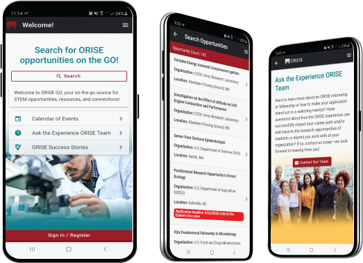
 ORISE GO

The ORISE GO mobile app helps you stay engaged, connected and informed during your ORISE experience – from application, to offer, through your appointment and even as an ORISE alum!


