National Watershed Integrity Mapping
A complete application consists of:
- An application
- Transcripts – Click here for detailed information about acceptable transcripts
- A current resume/CV, including academic history, employment history, relevant experiences, and publication list
- Two educational or professional references
All documents must be in English or include an official English translation.
If you have questions, send an email to EPArpp@orau.org. Please include the reference code for this opportunity in your email.
A research opportunity is currently available at the U.S. Environmental Protection Agency’s (EPA) Office of Research and Development (ORD)/National Health and Environmental Effects Research Laboratory (NHEERL). This appointment will be served with the Western Ecology Division (WED) in Corvallis, OR.
As part of a task under EPA's Safe and Sustainable Water Resources National Program, an operational definition of watershed integrity (WI) has been developed (Flotemersch et al. 20151). This has resulted in the production of a national WI map using the StreamCat dataset (Hill et al. 20162). This research project consist of the following four elements:
- Improving the WI map — The current watershed integrity map is based on hypothesized relationships between stressors and ecological functions, using first order, linear assumptions and no weighting. The participant will be involved in validating and/or more accurately characterizing the relationships between stressors and functions that are incorporated into the watershed integrity index using literature and available data to improve the WI map.
- Testing the WI map — The WI map has been tested by comparing results to stream condition data from national surveys. In conjunction with number 3 below, the participant will be involved in acquiring regional data to further test the WI maps.
- Regional applications — The participant will develop one or more regional case study demonstrating the utility of the WI maps for aquatic resource management.
- Temporal change — A map of partial change in WI over time with respect to specific stressors may also be produced, dependent on the availability of new spatial datasets.
The participant may be involved in the following activities:
- Assembling regionally-available spatial data for evaluating WI;
- Using spatial datasets to update national maps of WI;
- Assembling local, regional, or national datasets for testing of WI assumptions;
- Collaborating with researchers examining health and/or economic impacts of WI;
- Developing quality assurance approaches for mapping and testing of WI;
- Using GIS to develop new spatial indicators;
- Collaborating on related national mapping activities;
- Conducting scientific synthesis, data analysis, manuscript preparation and literature searches.
The participant will learn about the use of spatial indicators and watershed data, and will learn to develop, test, and apply models that evaluate WI. The participant will also further develop an expertise in spatial analysis using large national datasets. The participant will have access to a team of experts collaborating in and across disciplines on problems of crucial importance to the EPA’s mission.
1Flotemersch, J.E., S.G. Leibowitz, R.A. Hill, J.L. Stoddard, M.C. Thoms and R.E. Tharme. 2015. A watershed integrity definition and assessment approach to support strategic management of watersheds. River Research and Applications DOI: 10.1002/rra.2978.
2Hill, R.A., M.H. Weber, S.G. Leibowitz, AR. Olsen, and DJ. Thornbrugh. 2016. The Stream-Catchment (StreamCat) Dataset: A database of watershed metrics for the conterminous USA. Journal of the American Water Resources Association 52(1):120-128.
This program, administered by ORAU through its contract with the U.S. Department of Energy to manage the Oak Ridge Institute for Science and Education, was established through an interagency agreement between DOE and EPA.
Applicants must have received a doctoral degree aquatic ecology, ecohydrology, watershed hydrology (with a background in aquatic ecology, spatial analysis, and statistics), or a closely related field within five years of the desired starting date, or completion of all requirements for the degree should be expected prior to the start date. Experience in watershed or statistical modeling and spatial analyses at broad spatial scales and use of aquatic monitoring data and GIS analyses is desired.
The appointment is full time for one year and may be renewed upon recommendation of EPA and contingent on the availability of funds. The participant will receive a monthly stipend. Funding may be made available to reimburse the participant’s travel expenses to present the results of his/her research at scientific conferences and stakeholder venues. No funding will be made available to cover travel costs for pre-appointment visits, relocation costs, tuition and fees, or participant’s health insurance. The participant must show proof of health and medical insurance. The participant does not become an EPA employee.
The mentor for this project is Scott G. Leibowitz (leibowitz.scott@epa.gov). The desired start date for this appointment is August 1, 2016.

 ORISE GO

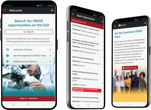
The ORISE GO mobile app helps you stay engaged, connected and informed during your ORISE experience – from application, to offer, through your appointment and even as an ORISE alum!


