Geospatial Data Creation and Curation Fellow
A complete application consists of:
- An application
- Transcripts – Click here for detailed information about acceptable transcripts
- A current resume/CV, including academic history, employment history, relevant experiences, and publication list
- Two educational or professional references
All documents must be in English or include an official English translation.
If you have questions, send an email to USDOT@orau.org. Please include the reference code for this opportunity in your email.
Have you ever wanted to influence and improve the effectiveness of geospatial data at the national level? Are you detail-oriented and committed to producing high-quality data products? Join us as we lead the development of new and improved national geospatial transportation products in the era of big data.
You will learn to create and curate geospatial datasets related to our Nation's transportation systems that are used by government officials, researchers, and the American people. To achieve your learning objectives, you will have the opportunity to collaborate with those other U.S. Department of Transportation (DOT) offices and Federal agencies that help maintain geospatial data and analytical capabilities. Your learning opportunities will also include the ability to participate in inter-agency efforts relating to the development and improvement of geospatial data and analytical applications.
Who are we? We are the U.S. Department of Transportation's Bureau of Transportation Statistics (BTS) Office of Spatial Analysis and Visualization (OSAV). BTS is an independent federal statistical agency that provides objective, comprehensive, and relevant information on the extent and use of the Nation’s transportation systems. OSAV produces geospatial datasets and visualization tools, conducts spatial and network analyses, develops performance measures, prepares maps for BTS publications, coordinates the transportation layer of the National Spatial Data Infrastructure, and publishes the National Transportation Atlas Database (NTAD). OSAV employs high-quality cartography and innovative web applications to produce relevant, timely, and accessible geospatial products and statistical visualizations. Learn more about the work we do at www.bts.dot.gov/maps.
The USDOT is actively reviewing applications and is looking to fill positions as soon as qualified applicants are identified.
This program, administered by ORAU through its contract with the U.S. Department of Energy (DOE) to manage the Oak Ridge Institute for Science and Education (ORISE), was established through an interagency agreement between DOE and DOT. The initial appointment is for four months, but may be renewed upon recommendation of DOT and is contingent on the availability of funds. The participant will receive a monthly stipend commensurate with educational level and experience. Proof of health insurance is required for participation in this program. The appointment is part-time in the Washington, DC area. Participants do not become employees of DOT, DOE or the program administrator, and there are no employment-related benefits.
Applicants will be currently pursuing a Bachelor's or Master's degree in related field required (preferably in Geographic Information Systems, Geography, Data Science, Information Systems). Coursework in remote sensing and transportation geography, planning, or modeling preferred.
Preferred skills include:
- Demonstrated experience with the Esri suite of products (ArcGIS Desktop, ArcCatalog, ArcGIS Online);
- Knowledge of open and proprietary exchange formats used in GIS-specific applications;
- Strong written and verbal communications skills;
- A self-starter with the ability to conduct research with limited supervision and changing outcome goals;
- Knowledge of and interest in U.S. transportation systems;
- Experience presenting results in a clear, effective, and attractive manner to inform next steps;
- Proficiency translating high level business requirements into detailed design specifications;
- Ability to communicate across various offices and work units to obtain information, collaborate on data-related projects, and validate findings and conclusions;
- Ability to collaborate with subject matter experts to identify and mitigate data limitations;
- Experience using various programming languages to create processes that identify variation, investigate patterns and perform data interpretation against large datasets is a plus, but not required;
- Citizenship: U.S. Citizen Only
- Degree: Currently pursuing a Bachelor's Degree or Master's Degree.
-
Discipline(s):
- Communications and Graphics Design (1 )
- Computer, Information, and Data Sciences (16 )
- Earth and Geosciences (21 )
- Engineering (2 )
- Environmental and Marine Sciences (14 )
- Life Health and Medical Sciences (5 )
- Mathematics and Statistics (10 )
- Other Non-Science & Engineering (2 )
- Social and Behavioral Sciences (27 )

 ORISE GO

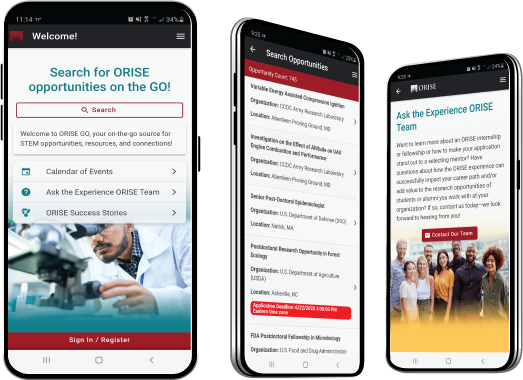
The ORISE GO mobile app helps you stay engaged, connected and informed during your ORISE experience – from application, to offer, through your appointment and even as an ORISE alum!


